... and the primer on how to run down a mountain.
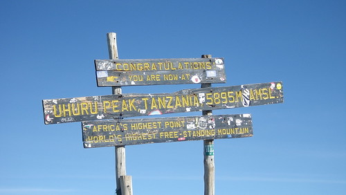
We spent about 20 minutes at the top, where we definitely felt light-headed. Still, we were determined to take our pictures, so we did that, and then finally, and somewhat reluctantly, we started to head down.
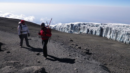
We had probably walked about 30 minutes, when I realized something...
As you can see, however, despite not taking the video at the top, there was no way in heck that we were going back even 20 minutes. We knew when we were beat. Nevertheless, this is still a video from over 19,000 feet. Pretty coherent for that height.

So, we said goodbye to the glacier (we think Ratzner glacier) and began our descent. Or so we thought.
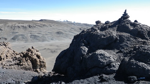
We had actually forgotten that around the crater rim on our ascent, it was mostly flat, with some uphill, but also so downhill. Hence, on our descent, it was mostly flat, with some downhill, but also some uphill. And let me tell you... after psychologically telling yourself that you were done with the uphill when you reached the top, to have some uphill facing us on the downhill was almost too much to bear. It's at that point that my body gave up, and I got a full on headache... the worst headache I have ever had. It felt like a blood vessel was about to pop somewhere in my brain and give me an aneurysm which, given the altitude, was not out of the realm of possibility. I had to concentrate most of whatever energy I had left to not keel over, but instead put one foot in front of the other. It sucked.
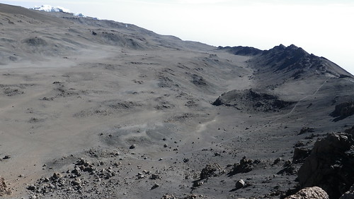
And the ugly crater in the unflattering sunlight of midmorning definitely didn't help. Remember that path through the crater I told you about where people camped? Well, you can kind of make it out from the bottom left of the photo going to the center right where it meets up at Gilman's Point. As I said before, it's a long way down to the bottom.

More ugly crater panorama.
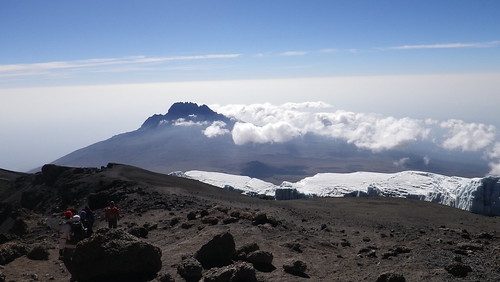
At this time, the clouds are starting to move in, so we need to get going. We come back to the nice view of the glacier and Mawenzi Peak for the last time.
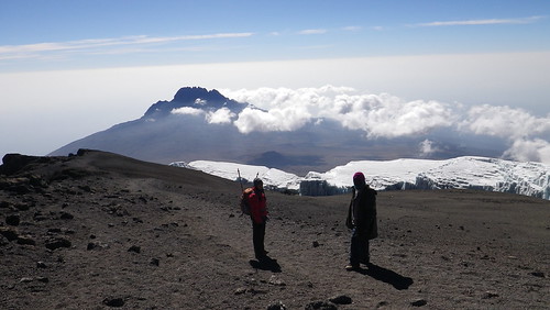
Taking a break on the path. First Resha...
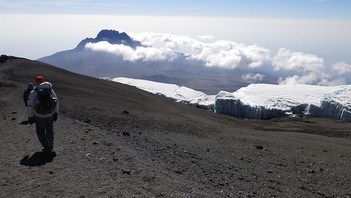
... and now William...
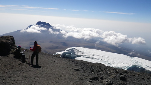
... and Jonas. Resha is using the walking poles at this point, but I find them to be more effort than they are worth, despite the assistance in balance, and besides, I have already broken mine. Luckily, they were extra ones that Ronald brought with him for us, as none of us had brought them to Africa, so that was both nice of him, but ultimately unnecessary for me.
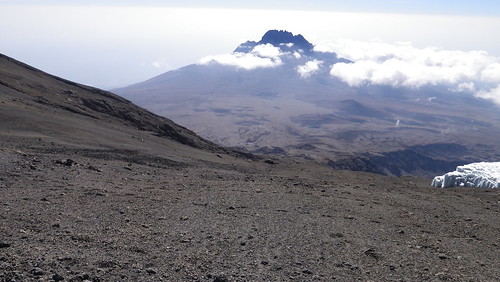
This is roughly the halfway point with, once again, looking down the Machame route down to Barafu Camp. Man, what we would have given to descend here, instead of more horizontal walking.
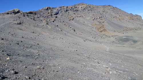
Looking back, you can see Uhuru Peak at the end of the cliff on the right side. The middle peak seems a little better, but that's just the perspective... the right peak is actually the peak, and although you can't make out the people at the peak, trust me... they are there.
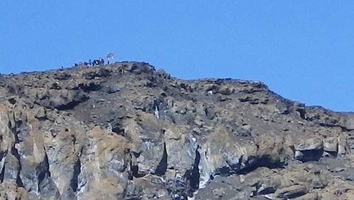
Oh wait... there they are!
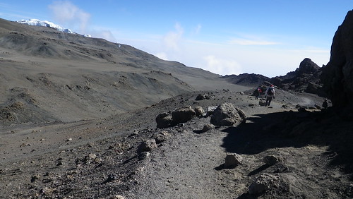
And while I was taking those photos, Resha and William had gone further down the path. Even though they had only gone about 20 meters, I was actually jealous that they had already gone that distance.
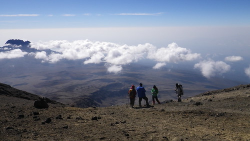
Some guides hanging out before descending down the Machame Route to Barafu Hut. As you can see, it's pretty steep and scenic here.
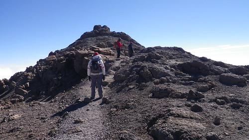
And then we came to a dread uphill of like five meters. It took us like twenty minutes to get over this part. To get to where William is, I probably stopped like twice.
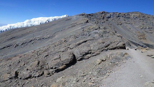
Buh-bye Machame Route. I think I took a picture to have an excuse to stop walking. I can't really do justice to how awful we feel right now. Resha is still reasonably good, but William is as bad as I am.

Last panorama at the top looking down the mountain. Bye bye Uhuru Peak.
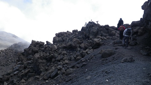
The wooden cross-like think you see is Gilman's Point. We've almost made it!

Last panorama at the top, this time of the central caldera.
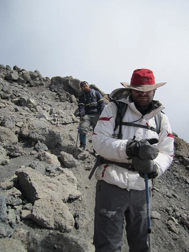
And so we began descending the rockpile or gravel pit on the outer face of the mountain. Now, you would think that when I said before that you would sink into the ground every step you took, that this would be a plus on the descent. After all, you descend faster right? Well, the problem in that theory is that we are bone tired and have no balance. So, each step was still excruciating - probably not has bad as the descent, but annoying in that something you take for granted, such as balance, is so difficult here. As you can see, William is most definitely NOT happy at this point. I am putting on a brave face for show... trust me.
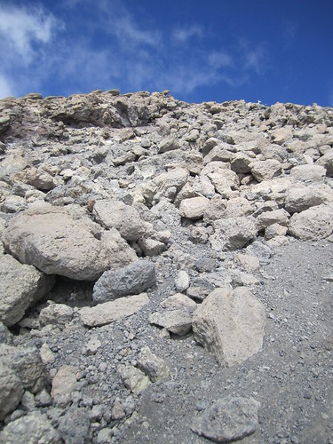
Looking back up at Gilman's. Can't see the sign anymore. This was also the point where we saw some porters jump over the edge of ridge onto the rocks, carrying stuff from the central crater camp, and then run down the rocks. Show offs.
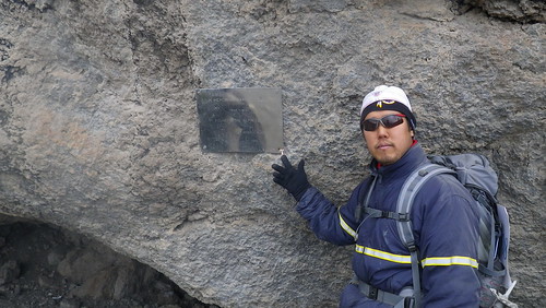
This is a monument to Hans Meyer, the first European to summit Kilimanjaro in 1889. It's a but unclear whether an African climbed to the summit prior to that. The answer is "probably," but there is no record of it, and since there really was no good reason to do it other than to "do it," many of the locals don't see the appeal. And neither do a lot of other people I know. I guess I am the crazy one.
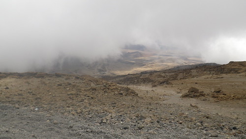
As we keep descending, the clouds have moved in, but we see a break to see Kibo Hut... beautiful, beautiful Kibo Hut. At this point, some of the porters had come to meet us, possibly to carry or stuff, and they genuinely seemed glad to see us. As the oxygen increased as we descended, our muscles still hurt, and their was fatigue, but my headache started to go away, and I breathed easier. I finally felt like I would make it to the end.
Our guides and the porters actually suggested that running was better, since it somehow provided a surer footing when you didn't try to completely balance every step. I could only do it for a few seconds since I was tired, but William was able to do it for long stretches, as seen in the video, and it did indeed seem to work.
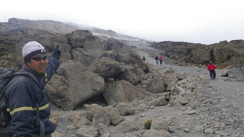
This is at Kibo Hut, and well, at this point I feel completely crappy, so I tell Kibo to take a hike in a not-so-polite way. But we did it... we were at least for a minute the highest people in Africa, scaled one of the Seven Summits, and did something that will be with us all of our lives.
At Kibo Hut, we were given delicious mango juice, a warm welcome by everyone, and Goodluck had made us a delicious lunch of chicken, potatoes, carrots, celery, and rice. I ate first, and then fell asleep, while Resha and William did the opposite. He actually admonished me to eat more, but after about half a bowl, I couldn't fight off the fatigue any longer. So, I slept... soundly... for about an hour before we had to get moving again. More about that cruel joke next week...
No comments:
Post a Comment